Yet, another truly fascinating and unique place in Death Valley is Badwater Basin. Although, some scientists think that the title would probably go to the Salton Sea (largest lake in California), the current record holder for lowest point in the U.S. is Badwater Basin.

Overview
Where: Death Valley National Park, CA
How To Get There: From Furnace Creek visitor center, you will drive south on the Badwater Road.
Nearby Attractions: Artist’s Palette, Dante’s View, Zabriskie Point
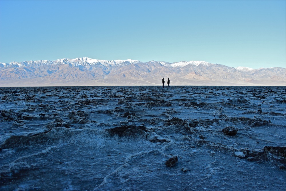
This easily accessible salt flat in Death Valley National Park is one of the park’s main attractions. What’s most fascinating about this place is not just the fact that it’s so low, but also that the basin is surrounded by dozens of 10,000+ feet tall peaks. Usually, seeing Mt. Whitney or Mt. Langley from an already high elevation, you don’t get to see the entire mountain from bottom to the peak. However, seeing telescope peak and nearby mountains from -282 feet below sea level is nothing short of intimidating as you can actually see where the mountain actually rises up from the ground all the way up.
This is a must visit for everyone who’s in Death Valley for the first time. From the parking lot, you can take a leisure walk out into the salt flat and take a 360 look of the entire basin. If you want a bird eye view of the basin, I recommend that you stop by Dante’s View to take a good look of not just Badwater Basin but the valley as a whole.


1 comment